


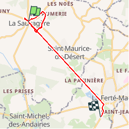


8 km | 9.5 km-effort

User


FREE GPS app for hiking
 SityTrail
IGN / Geographical institutes
SityTrail World
The world is yours!
Trail Walking of 9.8 km to be discovered at Normandy, Orne, Les Monts-d'Andaine. This trail is proposed by Elisabeth Neveu.


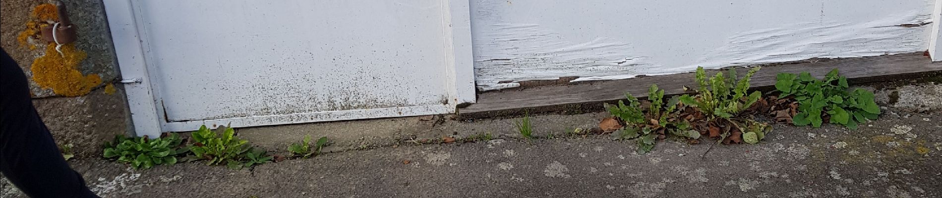
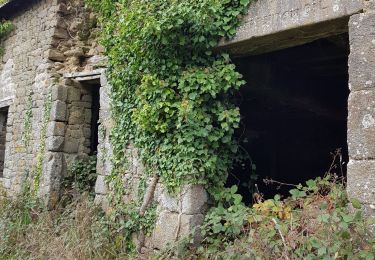
33 photos in total. Please click on a photo to see them all in the gallery.

On foot
Walking

Walking
Walking
Walking
Walking
Walking
Walking

Bicycle tourism